
Trace an Athens Township Street
A street search begins with a known location, not a list of people. The Athens County Auditor property search accepts a parcel, owner, house number, or street-name clue in one combined field. Preserve the parcel number and the spelling returned by that record. That parcel creates a stable handoff to the tax-map context and the recorded land trail. It is more dependable than assuming that every use of an Athens street name refers to the same city or township jurisdiction.
For a single address, move through the sources one at a time. Each source answers a narrower question. The parcel record may identify an owner entry. The deed supplies the recorded property interest. A voter report is an election record with exclusions. A directory is a dated listing. Together they form evidence, but none is a complete street roster.
- Enter the house number and street name in the Auditor search and write down the returned parcel identifier and owner spelling.
- Use the county GIS tax-plat material to place that parcel beside surveys, subdivisions, or historic plats.
- Find the latest recorded transfer in AvaWeb by working from the party name or legal description, then note its date and instrument type.
- Use the Athens County Voter Reporting tool only for a permitted current report or walking-list output, keeping its source date and exclusions in view.
- For an older household, ask the History Center about dated city, telephone, or cross-reference holdings rather than treating a present parcel owner as a past occupant.
Note: A single street can cross postal, municipal, and township lines, so parcel and jurisdiction checks come before a city or township records request.
Athens Township Street Directory Search Fields
The Auditor’s public entry is a combined property query, not a verified whole-street browsing tool. Enter the strongest address clue first, then treat each identified parcel as its own record. The Auditor describes current parcel information such as value, acreage, building size and characteristics, construction details, and other valuation information. Its page does not establish that every property displays every field, and it does not establish who lives at the address.
| Auditor field or control | How it works locally |
|---|---|
| Parcel, Owner, House# and St Name | Combined text field for a parcel ID, owner name, or house-number and street-name clue. |
| Search icon | Runs the combined property query. |
| Advanced fields | Exact owner, address, and parcel labels were not captured because the advanced page was protected. Do not assume filters or formats that are not shown. |
The Auditor has also warned that historical values cannot currently display alongside preliminary 2026 values. For a time-sensitive property question, preserve the result date, compare the recorded transfer, and ask Real Estate for the procedure to obtain an existing older tax record. The Treasurer separately cautions that a recently transferred property can retain a prior owner name until the next tax year.
A Treasurer property-tax guidance screen illustrates the county’s separate tax route.
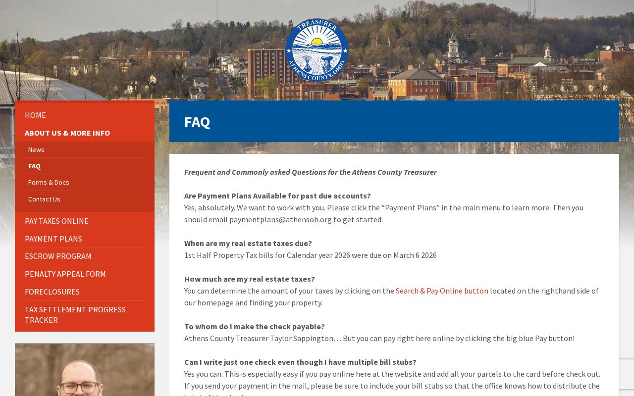
Tax timing can explain why a Treasurer display and a newer Recorder document do not yet use the same owner name.
Note: A value screen and tax bill can use different time frames, so compare the query date with the recording date before concluding they conflict.
Map an Athens Township Street Carefully
The Athens County GIS gateway is useful for current tax plats, historic tax plats, surveys, railroad surveys, subdivisions, imagery, and related land-record links. Use it to put an identified parcel in spatial context and to find the plat or subdivision references that may also appear in a deed. The county says its GIS data are maintained for tax purposes and show approximate boundaries. The property deed, not the mapped linework, delineates a legal property boundary.
- Parcel
- A county property unit used to organize assessment and tax records. It is a practical starting point, not proof of occupancy.
- Situs address
- The location of the land or building. The public Auditor page inspected did not confirm all local result labels, so it should not be confused with a mailing field.
- Plat
- A recorded map or plan that can show lots, subdivision layout, or survey context. Its reference helps connect a mapped parcel to a legal description.
- Criss-cross directory
- An address-arranged directory, if a holder has one. The local holder has not published a complete reverse-directory run, so ask catalog staff about exact years.
County GIS did not expose its interactive popup fields, buffer controls, or a whole-street selection mode in the inspected material. A manual street-directory method is therefore safer: select a known parcel, review its nearby plat context, and run a separate Auditor or Recorder trail for the next identified parcel.
Athens Township Street Records by Jurisdiction
Postal wording is not a jurisdiction test. Athens Township includes a City of Athens portion and a township remainder, and 45701 is used by both city and township offices. The northern township also has a 45780 postal clue associated with The Plains. Neither ZIP answers whether a permit file belongs with the City, whether township zoning applies, or whether a parcel lies in another county-administered area. Use the parcel and GIS context before choosing a custodian.
The township’s zoning description names Pine Street, the Hocking River, Slater and Porter lanes, Lemaster Road, and Connett Road as cues for its zoned area. Those landmarks give local context, but they do not replace parcel validation. A City of Athens code or permit request is appropriate only for a city parcel. For a township zoning question, use the Athens Township zoning contact and current resolution; the research did not locate a public township permit index.
Athens Township Street Directory Sources
Address-keyed records have different roles. The Auditor supplies parcel context. GIS supplies tax-map and plat context. AvaWeb reaches recorded land instruments. A voter report is a limited election record. City or township administrative files may provide date-specific application or review material only in the right jurisdiction. Reading the records in that order prevents an address result from becoming a claim it cannot support.
| Address record | Local keeper | What it can show | Access and limit |
|---|---|---|---|
| Current parcel record | Athens County Auditor | Parcel, owner-entry, value and published property detail | Free query; owner is not necessarily an occupant. |
| Tax plats and surveys | Athens County GIS | Parcel, survey, subdivision and historic-plat context | Free map/data route; boundaries are approximate for tax purposes. |
| Recorded conveyances | Athens County Recorder | Parties, legal description and transfer trail | AvaWeb images may be viewed or printed free; counter copies cost $2 per page. |
| Tax payment context | Athens County Treasurer | Current tax bill or transfer-timing context | A prior owner name can persist until the next tax year. |
| Permits or zoning files | City or township custodian | Existing application, review, approval, or compliance records | Verify the parcel jurisdiction; no public township permit index was located. |
| Voter report | Athens County Board of Elections | Permitted report or walking-list context | Confidential and protected records are excluded; it is not a household census. |
The Athens County Voter Reporting tool supports report, CSV, precinct, address-oriented, and walking-list options, but the result is tied to its displayed update date and statutory exclusions. Keep it separate from the land-record chain.
Follow Deeds Along an Athens Township Street
After identifying a parcel, turn to AvaWeb, the Recorder’s land-record portal. The Recorder says it holds real-property records and alphabetical indexes from 1790 to the present, and that images can be viewed or printed online without charge. The live portal form was dynamic during research, so its exact search labels and historical image behavior should not be guessed. If the online trail stops, the Recorder counter retains the stated alphabetical index and can assist with a specific name, date, document, or legal-description strategy.
Read the latest conveyance before searching backward. Record the grantor, the party conveying the interest; the grantee, the party receiving it; the recording date; instrument type; reference; and full legal description. Search a seller as a grantee, or return to the legal-description and plat language, to locate the earlier acquisition. Repeat one recorded transfer at a time. This method is more reliable than matching only the same street label because lot, block, tract, or subdivision wording can survive a changed address format.
The official AvaWeb land-record screen is the county-designated online route for this part of the Athens Township street directory.
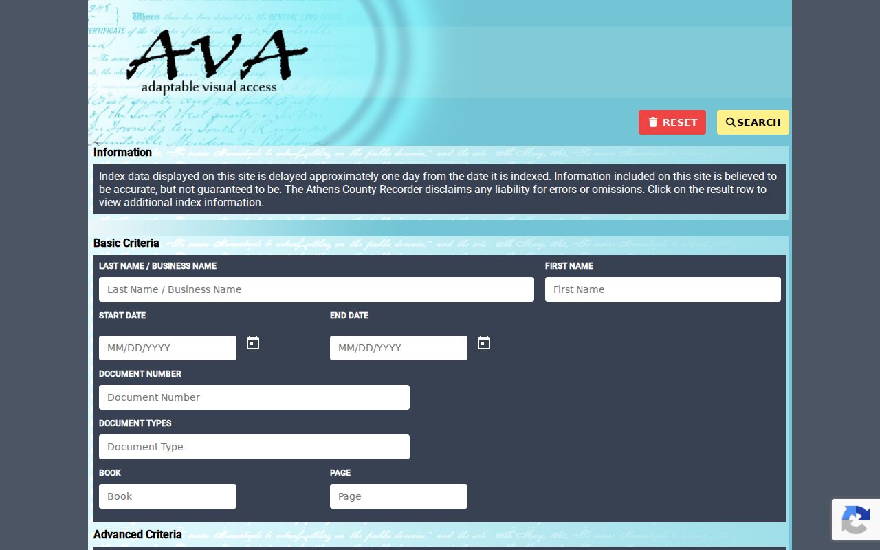
Online viewing can be enough for research notes, while a formal Recorder copy or certification follows the published counter fee schedule.
Note: The Recorder’s 1790 coverage is an office and index statement, not a promise that every early document has identical online search or image access.
Historic Athens Township Street Context
A dated directory can place a listed household near a particular time, but the historical collection should not be turned into a current street list. Ohio University Libraries provides a digitized 50-page 1932 Directory of Athens and vicinity, published by Daugherty & Spaulding. Its entries can include a name, spouse notation, occupation or affiliation, street wording, and sometimes children’s names and ages. The edition is city-oriented and covers its own compilation period, so it does not prove continuous residence or full township coverage.
The Southeast Ohio History Center Levering Library holds city and telephone directories, though it does not publish a complete year-by-year or reverse-directory list. Its staff and catalog are the right route for an exact volume. The historical collection itself is described more fully on the Athens Township city directory page.
A Library of Congress guide to Sanborn resources provides context for the mapped Athens editions.
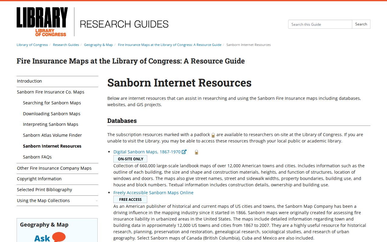
Sanborn maps can date a depicted building and street context in the mapped urban area, but they are neither a township-wide map nor a resident record.
Athens Township Street Records Over Time
Local record dates need context. The Recorder reports property records and alphabetical indexes beginning in 1790, while county government organized in 1805. The research does not resolve the early provenance, so an especially old parcel trail needs a conversation with Recorder staff about the specific instrument or index. County history also records that the first log courthouse burned in 1817 and that the present courthouse was dedicated in 1880. Those events are reasons to verify a series and custodian, not reasons to assume every early item vanished.
The research found no official Athens Township street-renumbering chronology, citywide conversion table, or comprehensive address grid. When older sources use different street wording, compare the parcel identifier, legal description, tax plat, survey or subdivision reference, prior parties, and date. Do not supply a guessed renumbering year.
Limits of an Athens Township Street Directory
No public source found here supplies a complete list of everyone living on a street. Parcel records identify land and an owner entry. Recorded deeds identify parties to an instrument. Directories identify households at their publication date. Voter reporting is a public election-record route with exclusions. Protected voter and Safe at Home addresses, utility customer records, DMV data, sealed court material, and private delivery or telecommunications information are not converted into a street directory.
Ohio’s Public Records Act, R.C. 149.43, allows inspection of existing public-office records during regular business hours and copies at cost within a reasonable time. It does not require a custodian to create a new street roster or research compilation. Use a focused request for a known address, parcel, record type, and date range when an online route does not supply the existing record.
Lawful use. Athens Township address records support personal, lawful property and family-history research. Do not use a record to stalk, harass, intimidate, or harm anyone, and do not treat a missing protected record as proof that a person never lived there.